Weather Layers: Wave & Sea Surface Temperature
Weather layers provided by ShipXplorer
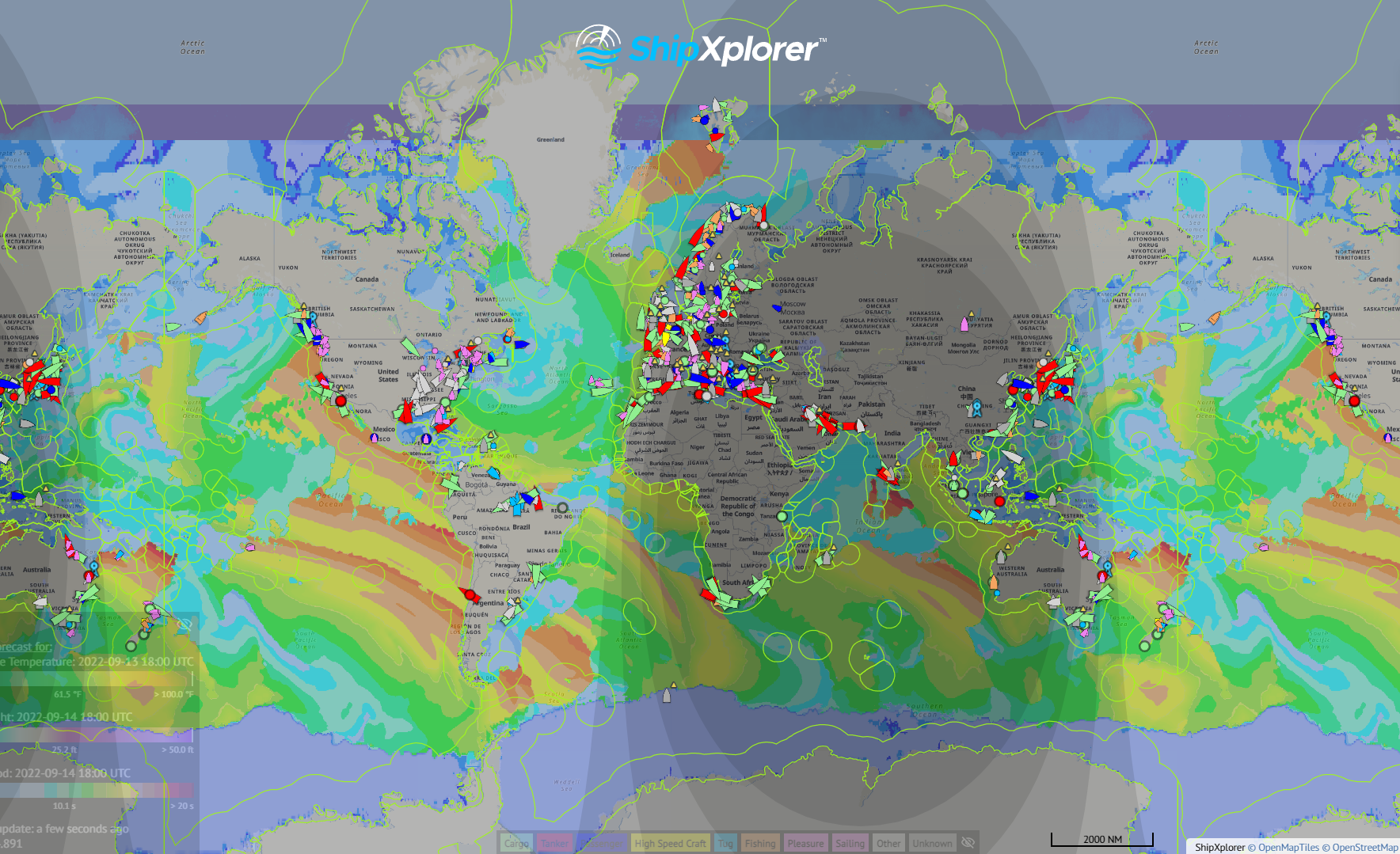
ShipXplorer currently offers users a variety of weather layers to overlay onto their map. This includes waves and surface temperature, wave height, wave period among other layers. In this week's blog post we will explore 4 of those layers and show you how to activate them.
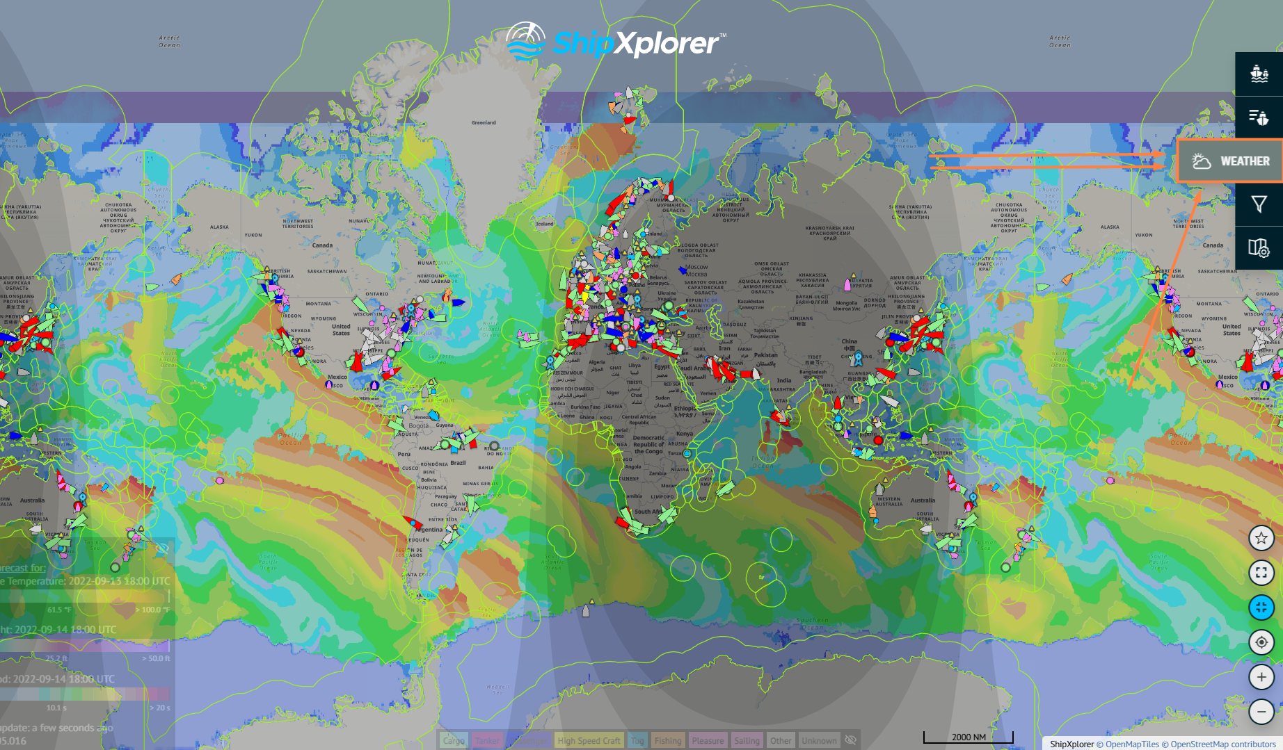
Step 1 - Find the "Weather" button on the right sidebar.
Weather layers provided by ShipXplorer
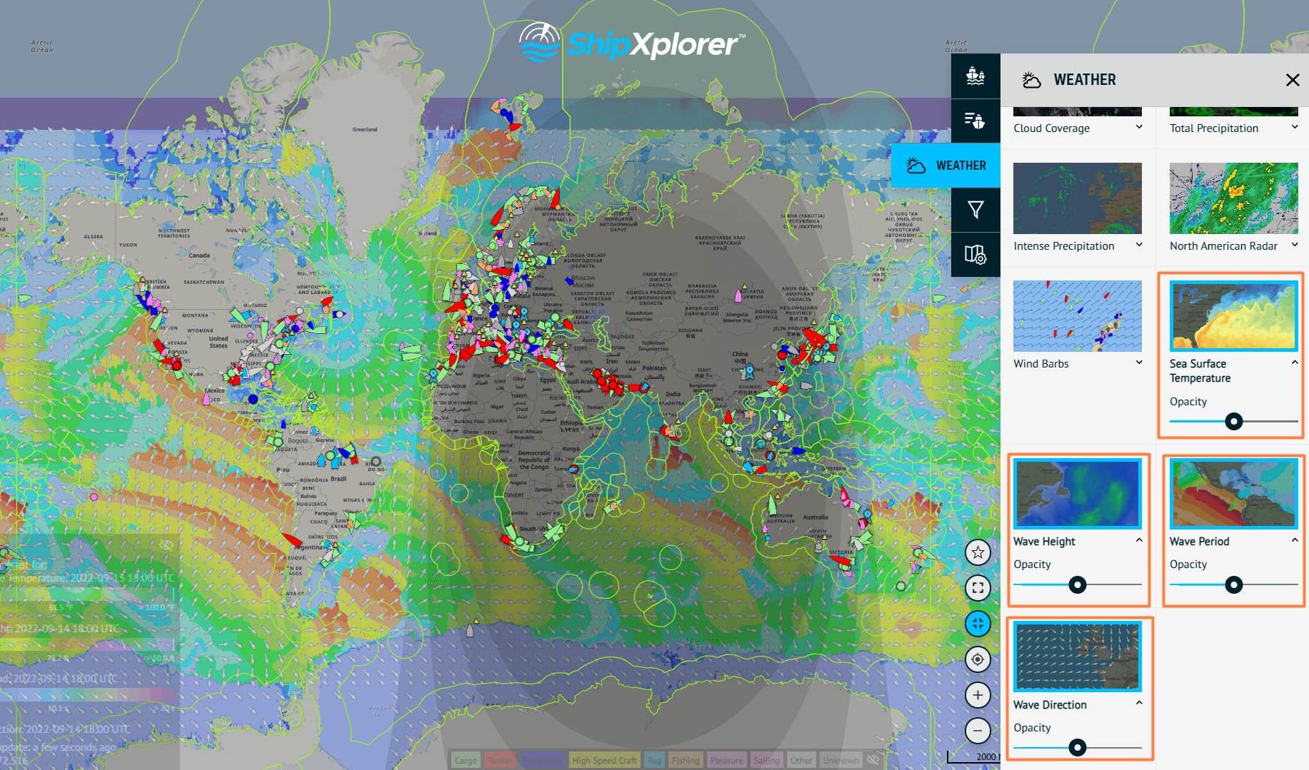
Step 2 - Select the desired weather layers. In this case, we have selected: Sea Surface Temperature, Wave Height, Wave Period & Wave Direction. The Sea Surface indicates ocean temperature. In comparison, the wave layers show the height, period, and direction of the waves on the map.
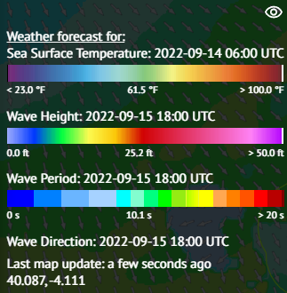
How are colors interpreted? On the left side of the page is Sea Surface, Wave Height & Period info you can make visible or not by clicking on the eye icon.
Weather Layer Information
Weather layers provided by ShipXplorer
For more information about what each subscription plan offers, visit: ShipXplorer.com/subscribe
READ NEXT...

- arctic
- north-pole
- le-commandant-charcot
- north-pole-expedition
- 50-years-of-victory
- russia
- ukraine
- russian-ukrainian-war
- war
- peace
- ship
- blog
2023-07-21 16:37 UTCA Symbolic Encounter: Le Commandant Charcot and Russian Arktika-class nuclear-powered icebreaker 50 Years of Victory Extend a Message of Peace At the North Pole
Today, we have an extraordinary tale to share, one that unfolded amidst the awe-inspiring beauty of the Arctic. Against the backdrop of the Russia-Ukraine war, this encounter took on a profound meaning as the two ships exchanged waves of peace in the far reaches of the North Pole. Read about this symbolic moment on our blog!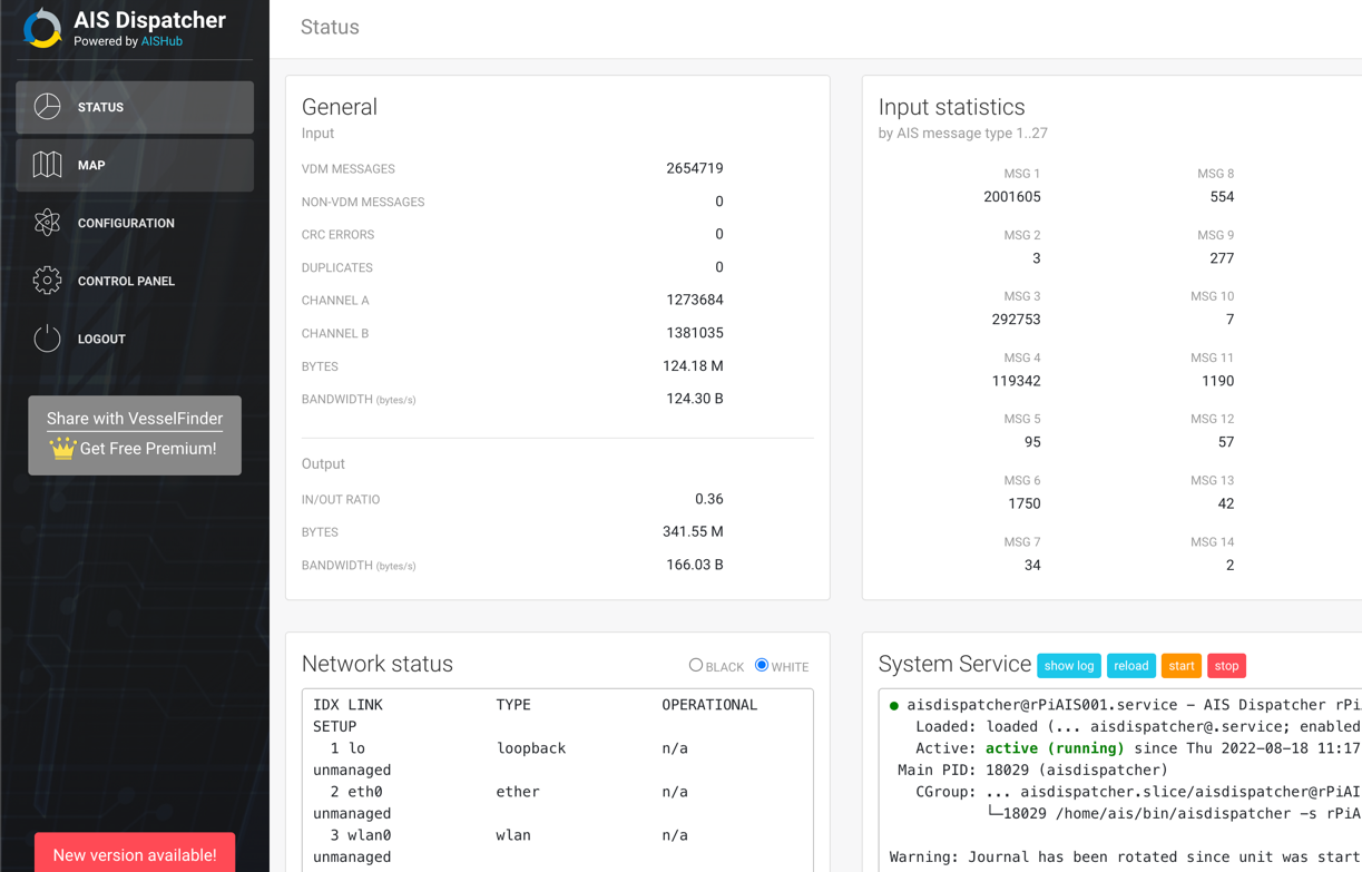
- ais-dispatcher
- ais-hub
- shipxplorer
- ship-tracking
- ais-data
- ais-coverage
- blog
2022-09-04 19:34 UTCHow to share AIS data to ShipXplorer with AIS Dispatcher
Did you know? You can now share AIS data with ShipXplorer? Read our blog to learn more!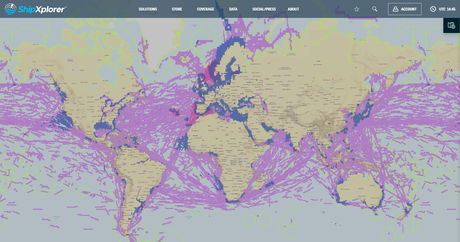
- shipxplorer
- ship-industry
- vessel-tracker
- ship-tracker
- ais
- hardware
- blog
2022-09-04 15:09 UTCSharing AIS data with ShipXplorer
Read our blog post and learn how to share AIS data and the benefits of being a ShipXplorer feeder.
 Facebook
 X
X