 Facebook
 X
XShipXplorer Features: Weather Layers (Cloud & Precipitation)
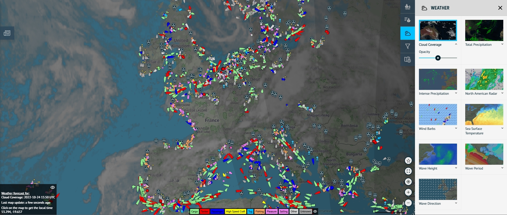
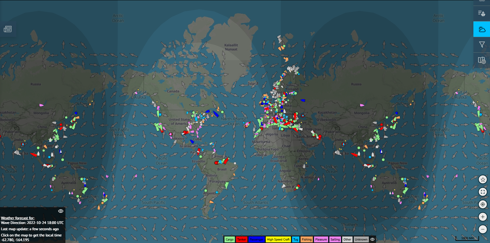
The Image Above: Cloud layers seen across Europe via ShipXplorer.com!
One of the many features that ShipXplorer offers is the ability to check Weather Layers, including cloud layers and precipitation!
Depending on which subscription plan you choose with us, this can be expanded up to nine different map layers, offering you significant choices in how you wish to view the weather.
Before we get into it, if you haven't subscribed to ShipXplorer already, you can do so by clicking here!
The Different Layers...
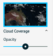
The Image Above: Cloud Coverage
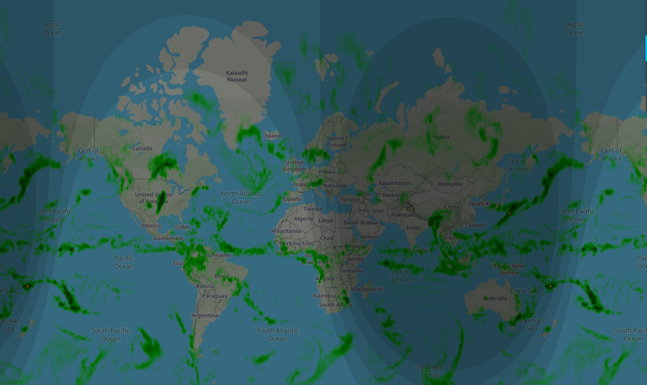
The Image Above: View of Total Precipitation
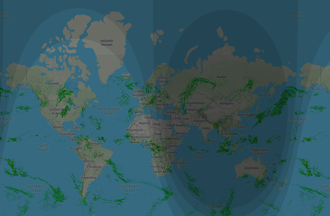
The Image Above: Intense Precipitation
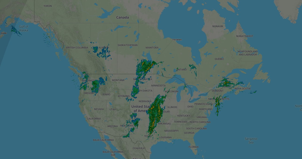
The Image Above: North American Radar

The Image Above: Wind Barbs
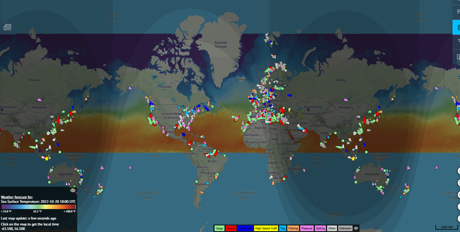
The Image Above: Sea Surface Temperature
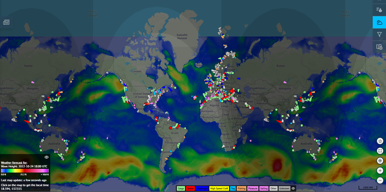
The Image Above: Wave Height
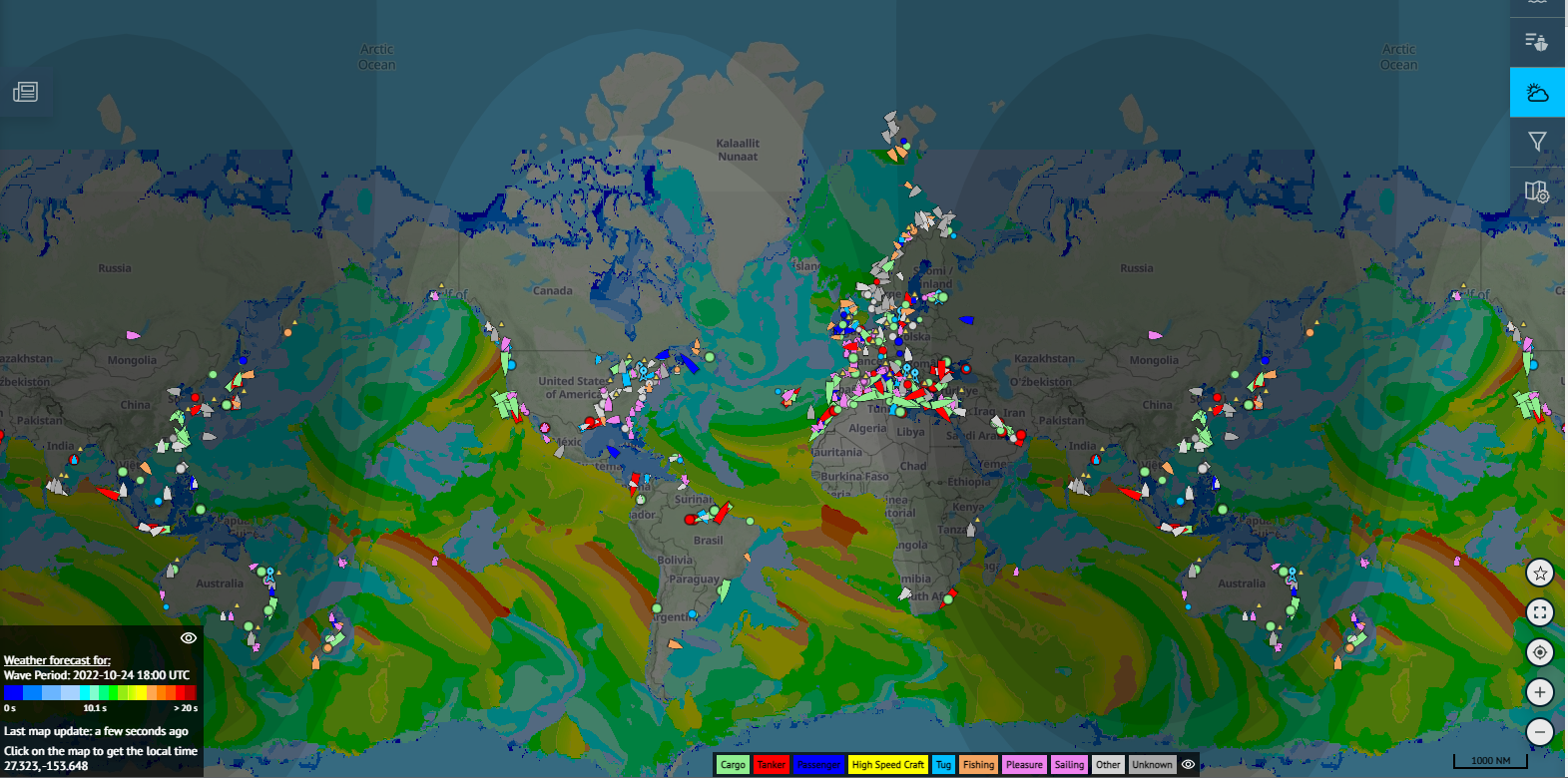
The Image Above: Wave Period
The Image Above: Wave Direction
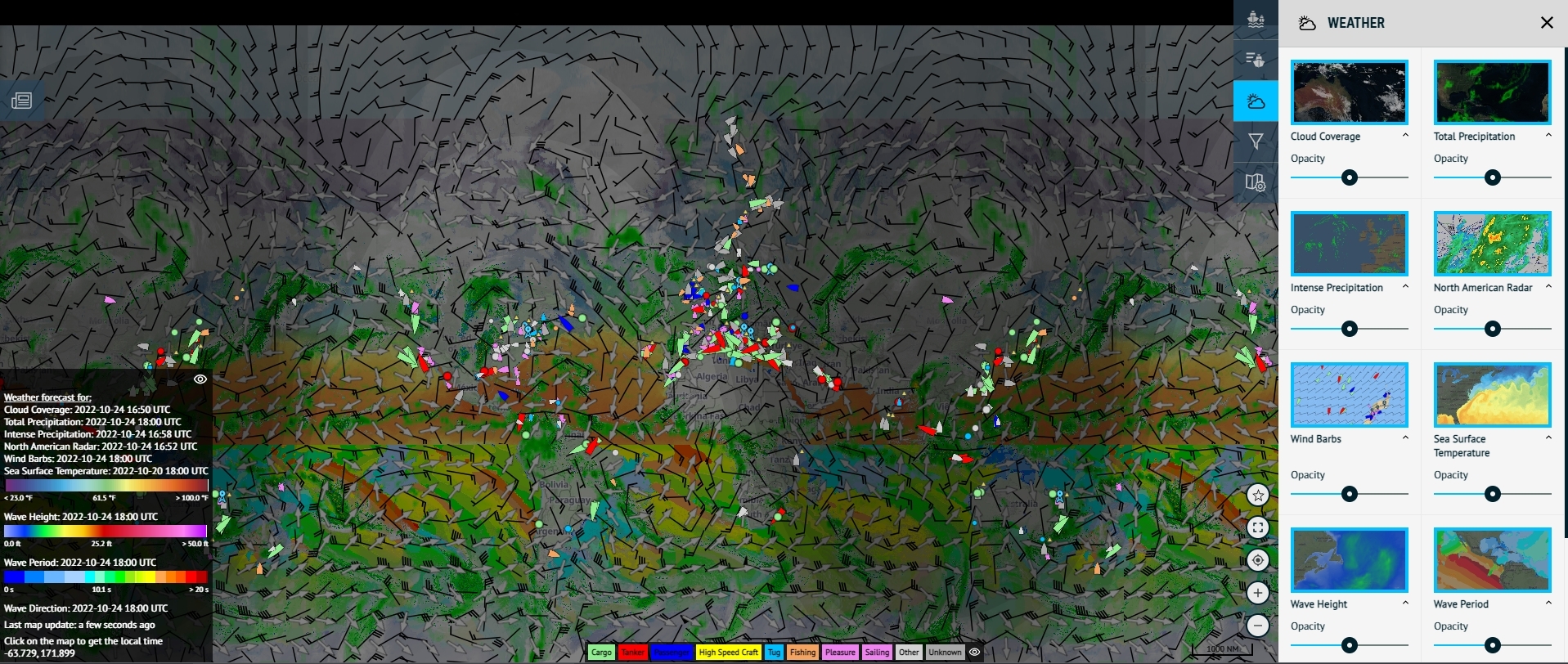
Choose Your Intensity of Weather
The Image Above: The Opacity setting on our Weather Layers functionality.
Like with all nine weather layer types, you can increase the opacity of the weather coverage. If you want it at low opacity to see more of the map, then simply turn the dial down.
If you want it at a higher opacity to see the intensity of the weather, then you can do that also!
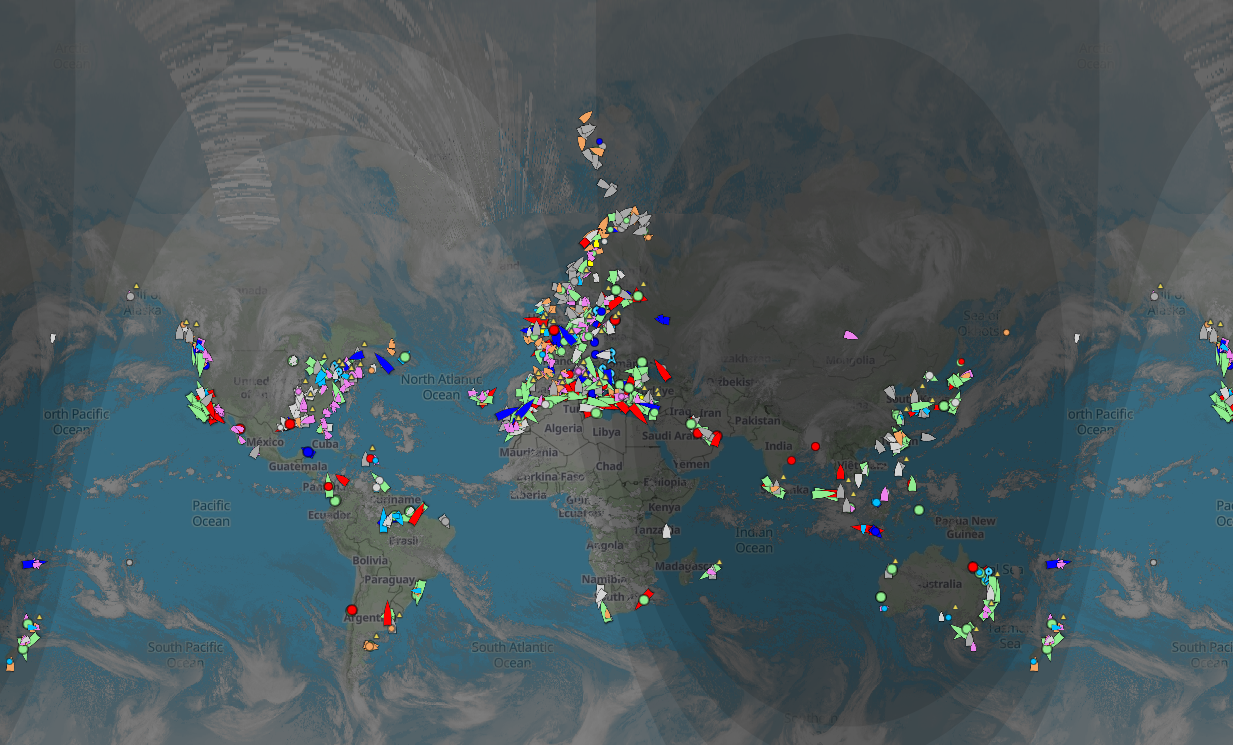
The Image Above: All nine weather layers in operation on ShipXplorer.com
You can also select all nine weather layers at the same time, so then you can get the best of everything when it comes to tracking that intense weather plus marine traffic!
Why don't you try it out for yourself? Subscribe to ShipXplorer today to acquire all of the weather-based benefits that we have on offer!
READ NEXT...
- ais-dispatcher
- ais-hub
- shipxplorer
- ship-tracking
- ais-data
- ais-coverage
- blog
2022-09-04 19:34 UTCHow to share AIS data to ShipXplorer with AIS Dispatcher
Did you know? You can now share AIS data with ShipXplorer? Read our blog to learn more!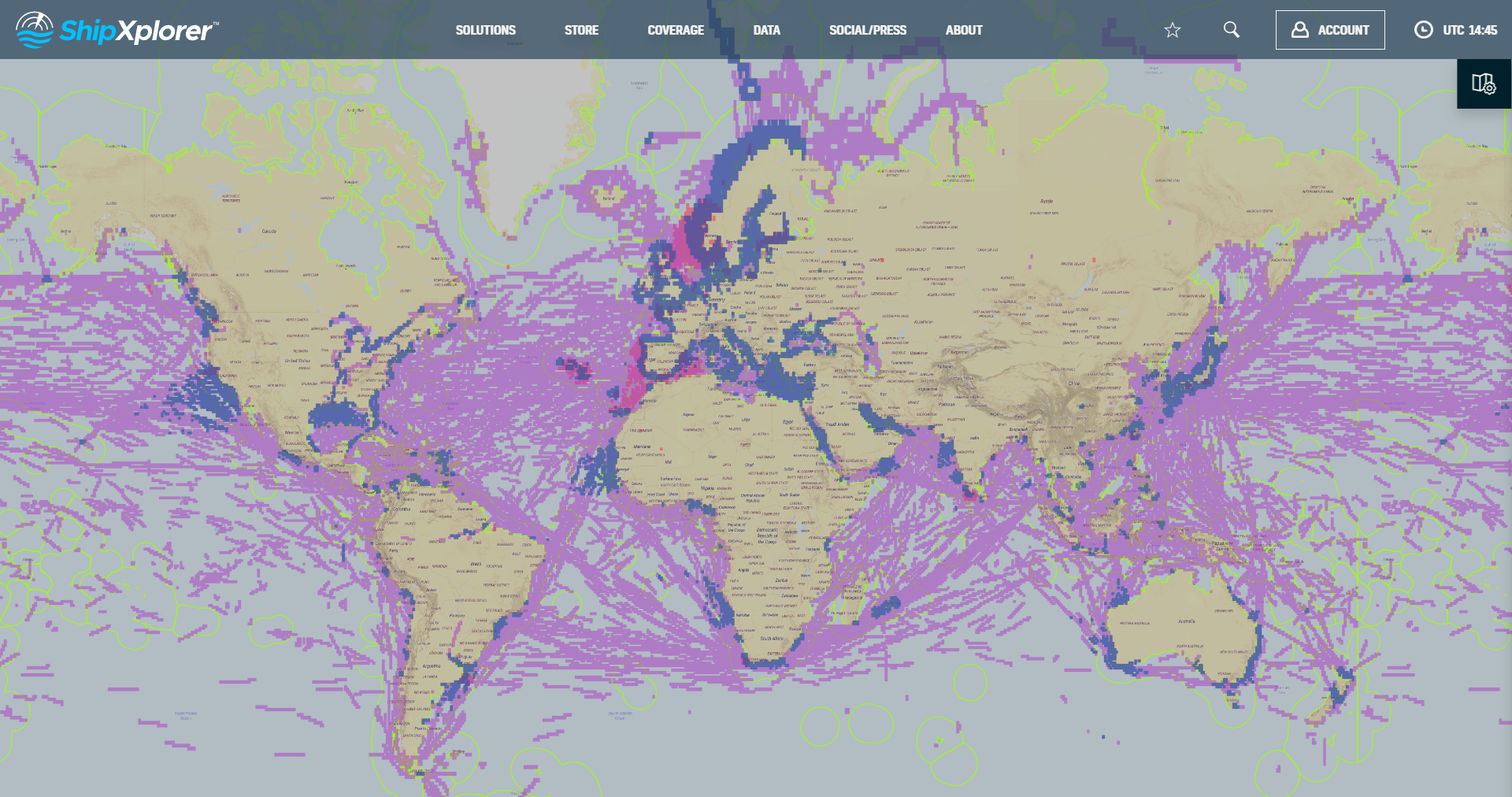
- shipxplorer
- ship-industry
- vessel-tracker
- ship-tracker
- ais
- hardware
- blog
2022-09-04 15:09 UTCSharing AIS data with ShipXplorer
Read our blog post and learn how to share AIS data and the benefits of being a ShipXplorer feeder.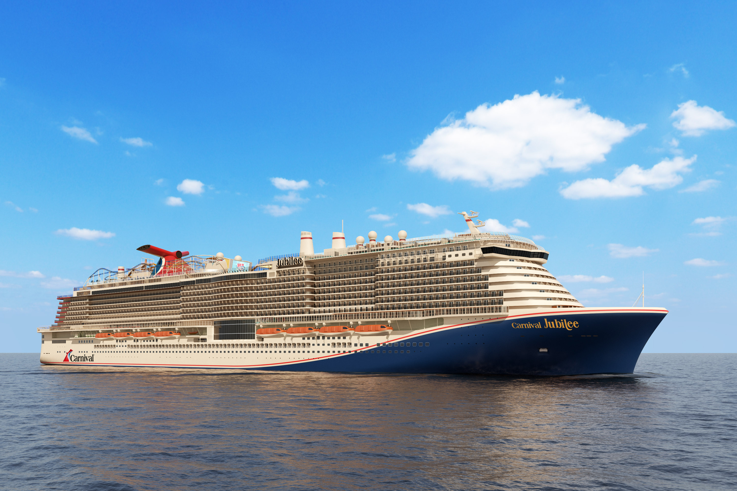
- galveston
- texas
- usa
- ship
- shipxplorer
- blog
2023-05-23 14:33 UTCNew Carnival Cruise Ship Coming To Galveston Port This Year
Galveston Wharves Port is preparing for the arrival of Carnival Cruise Line's latest addition to its fleet, the Carnival Jubilee, by investing a remarkable $53 million in the expansion and upgrade of Cruise Terminal 25 at Galveston Wharves. Read more on our blog!